
Walk a Bowling Green Street
A street search works best as a chain of dated facts. Warren County parcel data identifies land, a tax-roll owner, and the physical location called the situs address. A deed links parties to a recorded transfer. Voter and directory sources can place certain people near an address at a given time, but neither is a full household list. Keep those roles separate.
- Enter one complete address in the Warren County PVA search. Save the parcel ID, owner label, situs address, mailing address, legal description, and query date.
- Open the county GIS or Planning map. Select the parcel, then pan in house-number order while recording each parcel ID instead of copying a row of owner labels.
- Use the PVA owner name in the County Clerk's eCCLIX index. Search that person as grantee, capture the latest deed citation, then follow the grantor backward.
- Use the Voter Information Center only for a known person. A qualified SBE-84 request can produce street-ordered voter data, but there is no casual public street roster.
- For an earlier household, consult a dated householder or telephone directory. The Bowling Green city directory collections explain the historic shelf in depth.
The flow is address to parcel, parcel to owner name, owner name to deed, and then dated resident evidence. A mailing address may be far from the parcel. An exemption can be consistent with owner use, yet it does not prove who was present on the day of the search.
Bowling Green Parcel Search Fields
The Warren County Property Valuation Administrator accepts an address, an owner, or a parcel ID. Its map can select a parcel and expose tax-purpose boundaries, recent and older sales, aerial layers, zoning, districts, roads, and census overlays. The complete live result card was not available in the research capture, so confirm its current labels before citing a field.
| Search control | How to use it | Street-directory caution |
|---|---|---|
| Address | Try the house number and common street abbreviations. | A result is a parcel match, not a household roster. |
| Owner | Test surname, given name, initials, and punctuation. | The roll may show a tax mailing destination. |
| Parcel ID | Preserve hyphens and zero padding. | This is the strongest link between map and file. |
| Map Options | Switch parcel, aerial, zoning, and district layers. | Each overlay may have a different authority. |
| Measure, Draw, Print | Mark a segment and save a dated view. | Measurements are not legal boundary findings. |
The portal displayed 56,209 parcels loaded on February 16, 2026. That is a dated system count, not a count of homes or residents. The PVA also warns that sale data and some parcel traits may not be verified.
Map Bowling Green Streets Precisely
The Warren County GIS service exposes parcel identity, street number, ZIP, zoning, land use, precinct, magistrate, fire, school, plat, lot, sale, and update fields. The companion City-County Planning web maps add address points, historic districts, permit and development layers.
The official county GIS service is shown below. Its field-rich record lets a street directory preserve the parcel ID even when a display address is incomplete.
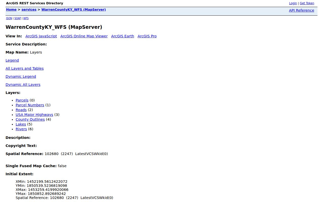
One captured sample contained a ZIP and street number but a blank street-name field. That local quirk is why the parcel ID, map, block, lot, and query date matter.
The Planning map landing page links the public geographic tools used to compare parcels, addresses, zoning, and boundary layers.
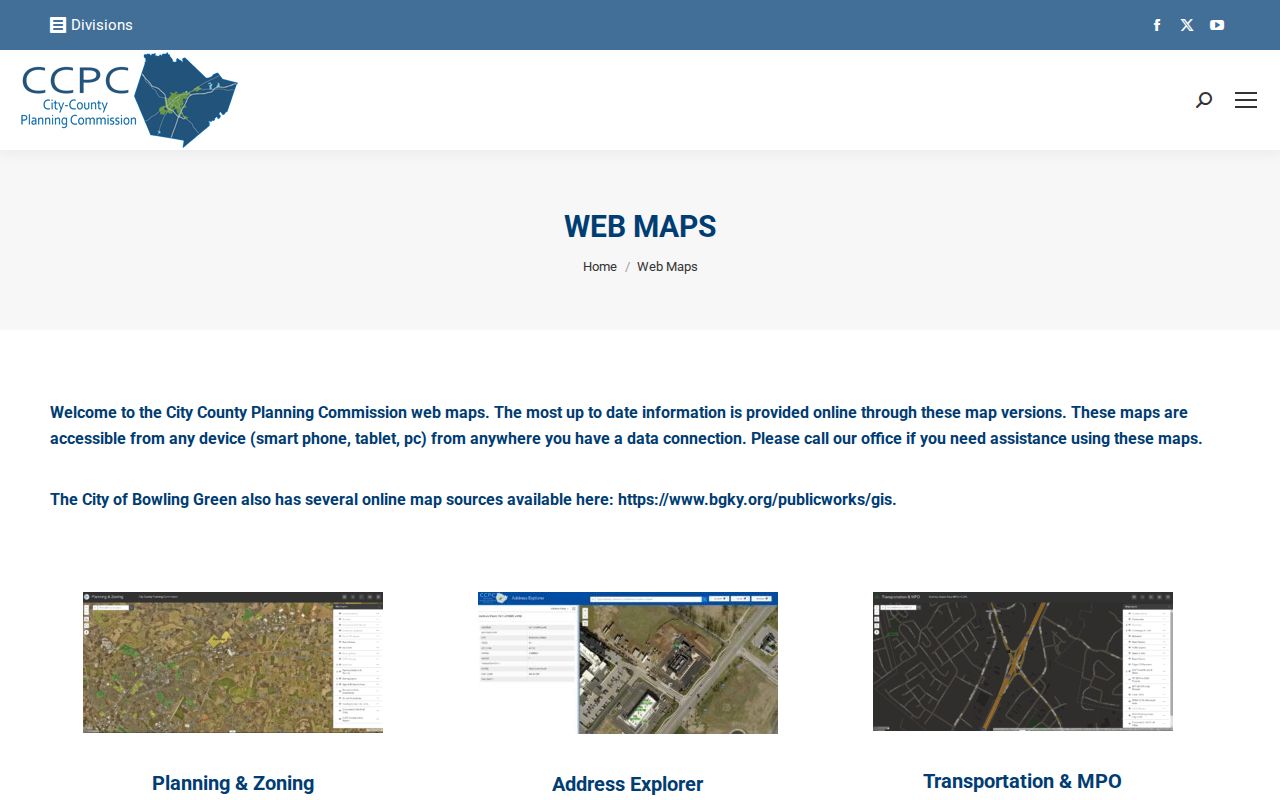
A street segment can cross a ZIP, fire district, school district, precinct, or city line. Check both ends and label each overlay by its keeper.
Read Bowling Green Address Terms
Four terms prevent the most common by-address mistakes. They distinguish the land from the mail and the map from the recorded instrument.
- Parcel
- A mapped unit of land identified by a local parcel number.
- Situs address
- The physical location assigned to a parcel or structure, which may differ from the owner's mailing address.
- Plat
- A recorded drawing of lots, boundaries, roads, and related survey details, often cited by book and page.
- Criss-cross directory
- A dated directory organized by street or house number rather than only by surname.
Copy each term exactly as the source uses it. The deed's legal description controls over a map label, while a postal ZIP describes delivery geography rather than city jurisdiction.
Bowling Green Street Records Compared
No single Bowling Green street directory contains every address relationship. The useful record sets differ in key, custodian, and access channel.
| Address source | Keeper | Street evidence | Access route |
|---|---|---|---|
| Parcel roll | Warren County PVA | Owner, mailing and situs details, parcel and valuation context | Online search, office, phone, correction email |
| GIS and planning | County GIS and City-County Planning | Parcels, address points, ZIP, zoning and district overlays | Public map, REST query, Planning office |
| Deeds and plats | Warren County Clerk | Grantor, grantee, instrument, book/page and legal trail | eCCLIX, Indexbooks, counter, microfilm, copy request |
| Voter data | State Board of Elections and County Clerk | Qualified street-ordered output or one-person voting detail | VIC, SBE-84, lawful inspection |
| Permits and orders | Bowling Green departments | Address-specific work or nuisance-order history | Final-order list or focused records request |
| Historic directories | Warren Public Library and WKU | Dated householders or telephone subscribers by house number | Digital scans, library desk, archive contact |
The parcel number ties maps to tax data and often helps resolve a legal description. A person or instrument name is needed for eCCLIX because the Clerk does not advertise a street-address index. If an online view fails, the fallback is the PVA or Clerk counter, a focused written request, library staff, or archive help, depending on the record.
Deeds Along Bowling Green Streets
The Warren County Clerk performs the recording role in Kentucky. Its eCCLIX land-record page is name and instrument based. Start with the PVA owner, then look for that person as grantee. Capture the deed type, recording date, book and page or instrument number, grantor, and parcel or legal-description clue.
The official eCCLIX access page pictured below also points to historical Indexbooks. Described deed and mortgage indexes reach roughly to 1966, most current filings and images from January 2004 forward, and the historical deed route reaches 1813 through 1962.
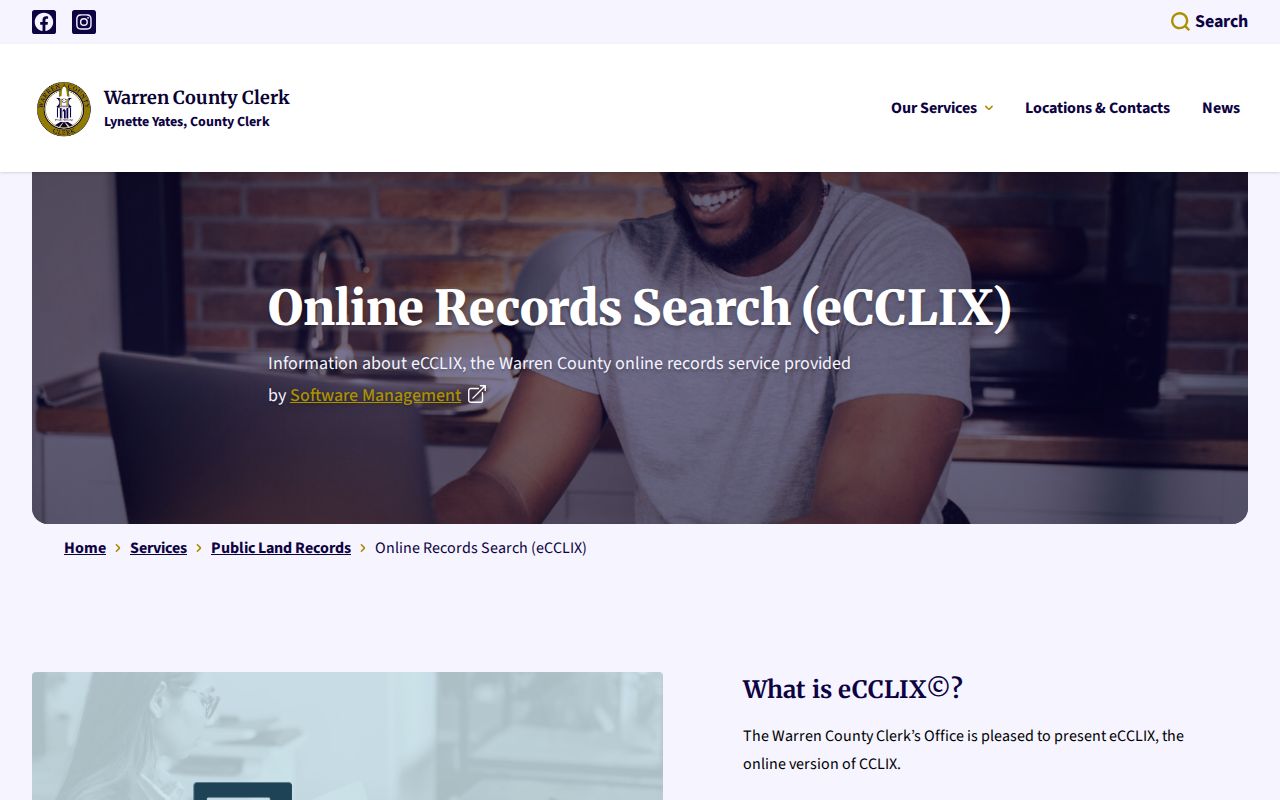
Images and subscriber functions may require an account, software, or payment. Older work may move to Indexbooks, courthouse microfilm, the Clerk counter, library deed abstracts, or an archive request. Never invent a missing grantor, book, page, or instrument number.
Note: eCCLIX does not advertise an address index, so the owner name and parcel details are the practical bridge from street to deed.
Translate Old Bowling Green Streets
Historic labels can defeat an otherwise correct address search. Old Court Street became present Tenth Avenue. Old Summer Street became present College Street. A directory, deed, or newspaper may therefore place the right person under a name that no longer appears on a current map.
Match an old entry with a dated directory, Sanborn sheet, deed description, the Planning Address Explorer, and nearby landmarks. The Address Explorer separates current, future, and retired addresses, and it warns that some vacant lots have no assigned address. A changed street name does not prove that house numbers stayed fixed.
Street-name tip. Preserve both the historic and current labels in the research note, plus the source date and any mapped landmark used to connect them.
Bowling Green Address Case Files
Property activity can appear in city files even when it is absent from a parcel card. The Building Division permit page identifies building, electrical, demolition, site, fence, sign, pool, and related categories. The public eSuite portal is aimed at licensed contractors and does not expose a general address-history search.
The permit page shown below is the starting point for office routing. Ask the Building Division or City Clerk for a defined address, record category, and date span when a public online search is unavailable.
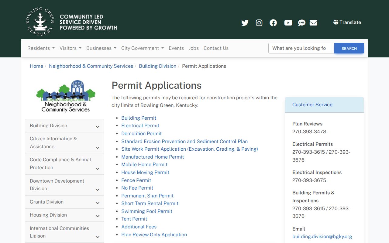
A permit can date work on a structure, but it does not establish every occupant. Contractor and owner names must be labeled by their role in that file.
The Code Enforcement and Nuisance Board final-order list publishes date, citation number, property address, status, and order history.
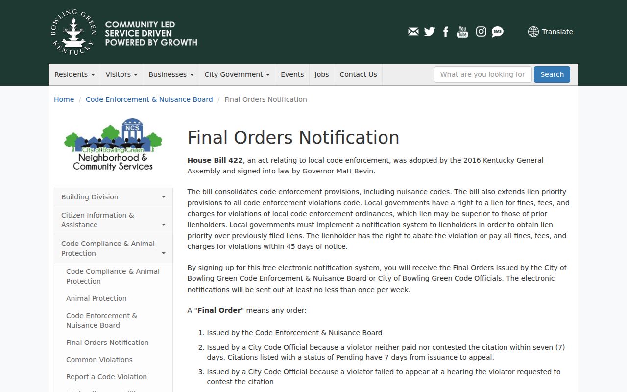
Recheck the status before relying on an order. A citation attaches to a proceeding and address at a date, not to every person living nearby.
Bowling Green Voters by Street
Kentucky's Voter Information Center is keyed to one known person. It requests legal first name, last name, date of birth, and an optional last four digits of a Social Security number. It can return registration, precinct, polling, and absentee information. It is not an open street list.
A qualified requester may use SBE-84 voter-data instructions to seek paper lists in street order or mailing labels by household and street. The form requires eligibility, geography, format, an oath, and payment. It lists a 7 to 10 business day processing period, but does not publish a fixed fee schedule. Street-directory research must not treat nonappearance as proof that no one lives at an address.
Bowling Green Street Boundaries
Postal ZIPs and municipal limits do not coincide in Bowling Green. A mailing label can use Bowling Green while the parcel lies outside the incorporated city. Likewise, precinct, school, fire, magistrate, tax, zoning, and postal lines come from separate authorities.
Use USPS for delivery ZIP, the city-limits GIS for municipal status, and Planning or county GIS for the other overlays. The PVA map presents many of these as public-service layers and warns they are not all authoritative PVA data. A reliable by-street note gives the source and date for every boundary claim.
Limits of Bowling Green Street Records
A parcel map cannot identify every occupant, visitor, renter, delivery recipient, utility subscriber, or unregistered voter. No public utility customer list was found. Driver information is restricted by federal law. Kentucky Safe at Home may substitute an official mailing address for a protected physical address, and voter records carry redaction and use rules.
A historic directory entry is a dated statement, not current proof. A voter result shows registration placement. A deed shows a recorded property event. Even a current PVA owner label can lag a transfer or show a remote mailing address. The strongest street directory result names the exact relationship each source supports and leaves unknown household members unknown.
Lawful use. Bowling Green address records support family research, property questions, and civic curiosity. Never use them to stalk, harass, intimidate, or harm a person.