
Bowling Green Address History Sources
No single roll identifies every prior owner and occupant. The Warren County Clerk follows ownership through instruments, while directories and census schedules identify dated households. Sanborn maps describe buildings rather than residents. Permit, obituary, cemetery, probate, and newspaper records can explain a transition, but each must be read for the role it actually documents.
| Source | Years It Covers | Where Held | What It Shows |
|---|---|---|---|
| County deed indexes and books | 1813-current described; digital depth varies | Warren County Clerk, eCCLIX, courthouse | Grantor, grantee, instrument, date, book/page, legal description |
| Verified local directories | 1925, 1926, 1941, 1962; other years vary | WKU, Warren County Public Library | Dated householders, subscribers, occupations, businesses |
| Federal census | Public schedules through 1950 | NARA and library databases | Household, age, relationship, occupation, residence |
| Sanborn maps | Verified 1895, 1901, 1909, 1914, 1925, 1932, 1948 | Library of Congress and WKU | Building footprint, use, stories, materials, nearby features |
| Building permits | Historic depth not confirmed | City Building Division or records request | Retained work, project address, permit and inspection trail |
| Cemetery and probate clues | Runs vary | Fairview, KHS, Clerk, KDLA, FamilySearch browse | Burial, relatives, heirs, estate and later transfer clues |
For a recent house, start with the PVA parcel and latest deed. For a mid-century question, a telephone or city directory may supply the household name before the deed chain is opened. For a nineteenth-century place, begin with a map, deed abstract, family file, and surviving Clerk or archive material. The source date must travel with every name.
Translate Old Bowling Green Streets
Historic address work can fail even when the correct person is in the record. Bowling Green's police history states that old Court Street became present Tenth Avenue, while old Summer Street became present College Street. Search both forms. A current street number also may not match an older one after subdivision, annexation, or renumbering.
The City-County Planning Commission web maps include an Address Explorer that distinguishes current, future, and retired addresses. Compare a historic directory line with that address layer, the PVA parcel, and the deed's legal description. The legal description identifies land through lots, plats, or boundary language and often survives a street-label change.
Address test. Keep three columns: the historic directory wording, the current parcel and GIS result, and the Clerk's recorded instrument.
Householders in Bowling Green Directories
The 1941 Caron's directory is especially useful for previous residents because its description expressly includes householders by street and consecutive house numbers. Record the street heading, number, printed name, occupation or telephone field, page, and volume year. The Bowling Green city directory collections also include verified telephone books from the 1920s and 1962.

A directory listing proves only that the publisher associated a named householder or subscriber with the address at that date. It may omit other adults, children, boarders, or an unlisted household.
Trace Warren County Owners
The Warren County PVA supplies the current owner, parcel identifier, map-block-lot data, legal description, sale context, and update date. Use that name to enter the Warren County Clerk's eCCLIX land-record route. The online index is name-based and does not advertise an address or parcel index, so the PVA-to-owner bridge is essential.
- Search the address in the PVA portal. Save the current owner, parcel ID, legal description, and record date.
- Find that owner's purchase instrument in eCCLIX. Capture parties, type, recording date, and book/page or instrument number.
- Take the seller, or grantor, from that deed. Search that person as a grantee to locate the earlier purchase.
- Repeat the transfer chain while matching the legal description. A same-name hit without the land link is not enough.
- When the digital trail ends, use historical indexbooks, courthouse records, microfilm, Clerk copy service, or archive holdings.
- Grantor and grantee
- The grantor transfers an interest; the grantee receives it.
- Chain of title
- The linked sequence of recorded transfers for the same parcel.
- Legal description
- The deed's land description, often based on a lot, plat, or boundaries rather than a mailing address.
The Clerk describes deeds and indexes from 1813 to the present, with deed and mortgage scans or indexes around 1966 forward and most filings or images from January 2004 forward. Exact availability varies. Call legal records at 270-842-9416 or land-record copies at 270-843-5307 when an image or earlier book is missing.
Map the Bowling Green House
The 1895 Bowling Green Sanborn map has 14 sheets, while the 1909 map has 28. Other official project references identify coverage in 1901, 1914, 1925, 1932, and 1948. A Sanborn sheet can show a building footprint, mapped use, number of stories, construction material, outbuildings, and nearby landmarks at the map date.
Maps cannot name the occupant or prove title. They work best after a directory provides a historic house number and before a deed confirms the land. Compare the old sheet with the current parcel and aerial layer. If the footprint moves or vanishes, investigate demolition, subdivision, or a numbering change rather than assuming the family moved.
Early Warren County Place Clues
The 1877 Beers map names residents or landowners, towns, and businesses. It also includes a business directory and population table. The manifest source for this captured historical item is the WKU Southern Bell directory record, which illustrates how local digitized materials are presented:
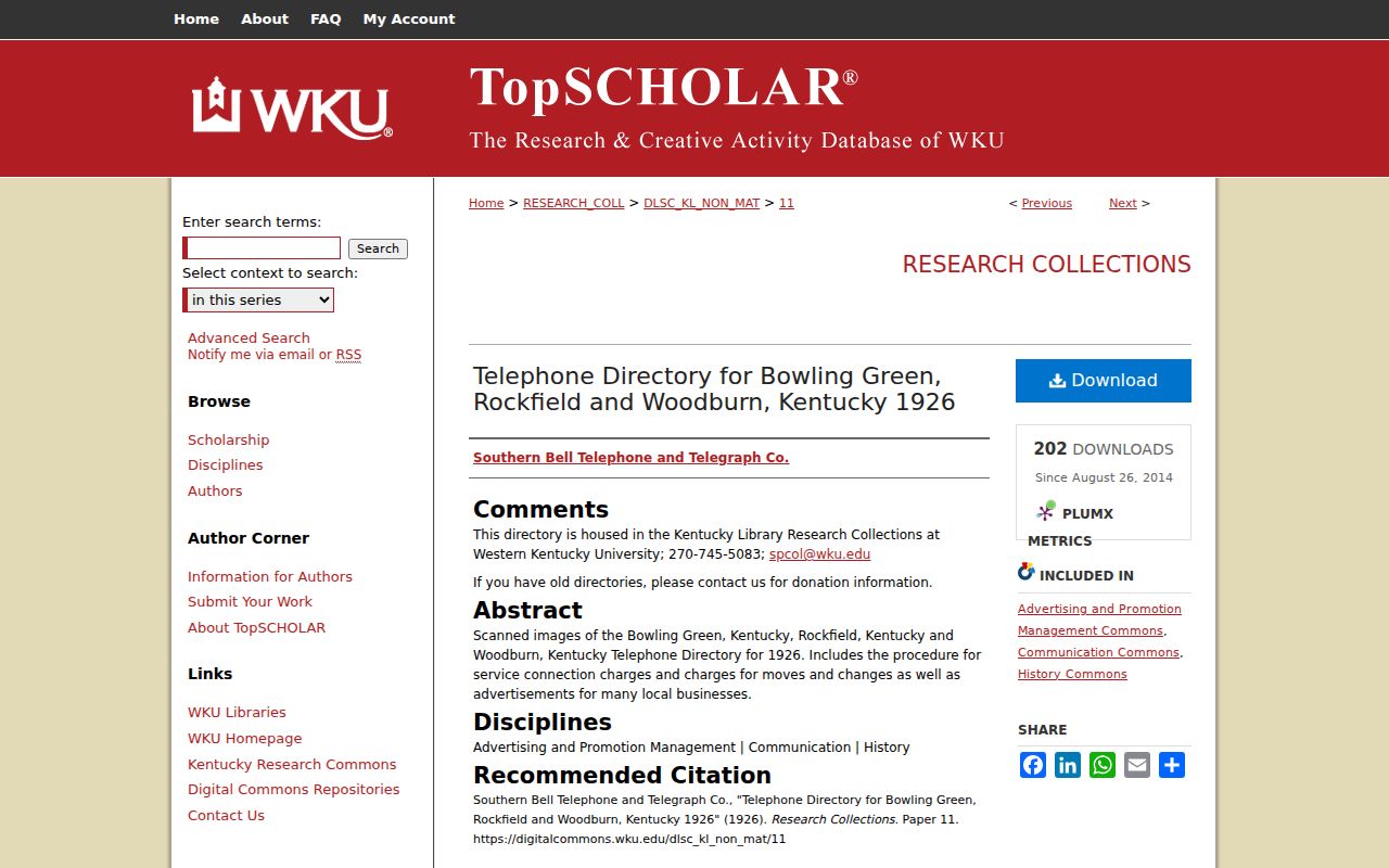
Because the capture description and its manifest URL do not describe the same item, use the image only as a route into WKU's local-material collection. Consult the verified Beers map record before asserting a mapped name or tract.
The 1864 Courthouse Gap
The Kentucky Department for Libraries and Archives courthouse-disaster table confirms a Warren County courthouse disaster in 1864. It does not identify every volume that was lost. This is why a nineteenth-century ownership chain may become an archive problem rather than a simple online search.
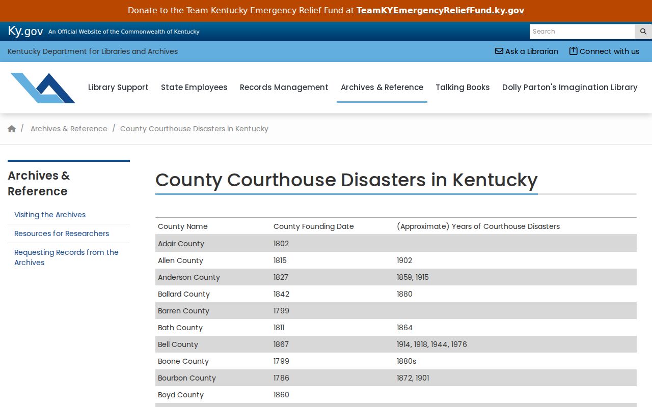
Label the confirmed disaster year and the exact missing interval separately. Later deed recitals, early deed abstracts, tax material, family files, KHS county files, and maps may reconstruct part of a chain, but they should not be presented as a surviving deed.
Permits Date Building Changes
The Bowling Green Building Division publishes categories for building, electrical, demolition, site work, manufactured homes, moving, fences, signs, pools, and plan review. Its eSuite portal is login-limited and does not provide an open address-history index. Ask the Building Division or City Clerk for retained records tied to an address and date range.
A permit can date an addition, demolition, electrical project, inspection, or change of use. It does not prove who slept in the building. Likewise, a contractor or applicant named on a permit may not be the owner. Keep permit roles separate and compare the work date with a directory, aerial image, deed, or newspaper notice.
Confirm Bowling Green Past Households
Owners are only half of a house story. Directories can identify a dated householder or telephone subscriber, while public census schedules through 1950 may name the household, ages, relationships, occupations, and residence at enumeration. Use a directory just before and after a census year, then compare names and street wording. An enumeration district is the area assigned to one census taker; maps for that district can help when an address was omitted or renumbered.
- Place the address in the closest directory year and copy the complete printed line.
- Find the nearest public census schedule by surname, street, or enumeration district.
- Compare household members, ages, nearby families, and occupation clues without forcing a match.
- Search later directories and newspapers to identify a move, death, or change in the named householder.
Obituaries, Fairview Cemetery records, probate files, and later deeds often close the trail. An obituary may identify relatives and a former home. Probate can identify heirs and property, although a Warren-specific indexed run was not confirmed in the FamilySearch text page. Use the Clerk, KDLA, KHS, or catalog and browse images when the online name index ends.
Lawful use. Research previous residents for family history, house history, and personal curiosity. Never use a historical trail to harass, threaten, or track a living person.
Note: A missing name marks the end of the evidence found, not permission to fill the gap with an unsupported resident.