
Bowling Green Block Sources
A block lookup begins with public land records and adds civic context one source at a time. The parcel map can show adjacent lots and assessed owners. Planning layers show address points and district lines. Voter data, code orders, groups, and historical directories answer narrower questions. None of them supplies a full list of Bowling Green neighbors.
| Block source | Public detail around an address | Access channel |
|---|---|---|
| PVA and county GIS | Adjacent parcels, IDs, addresses, acreage, owner and district fields | Online search, map, REST query, PVA office |
| Planning Address Explorer | Current, future, and retired address points | Public map and Planning office |
| County Clerk | Deed and plat relationships among nearby parcels | eCCLIX, Indexbooks, counter, microfilm |
| Voter records | One-person voting details or approved street output | VIC, inspection, qualified SBE-84 request |
| CENB final orders | Citation date, property address, status, and order trail | City public list |
| Neighborhood groups | Group name, public activity, meeting or watch pattern | City directory and liaison |
| Library and historic maps | Dated occupants, subscribers, structures, and street context | Library, WKU scans, archive help |
An owner name is not the same as an occupant list. A tax mailing address can be elsewhere. A neighborhood group entry shows public civic activity, not private membership. Record each relationship exactly and add the date searched.
See Bowling Green Parcel Edges
The Warren County parcel layer exposes parcel ID, acreage, street number, ZIP, land use, zoning, tax, fire, precinct, magistrate, school, plat, sale, and update fields. It supports map geometry and data queries, but it has no dedicated neighbors button.
The public parcel service shown below is the base for an immediate-block search.
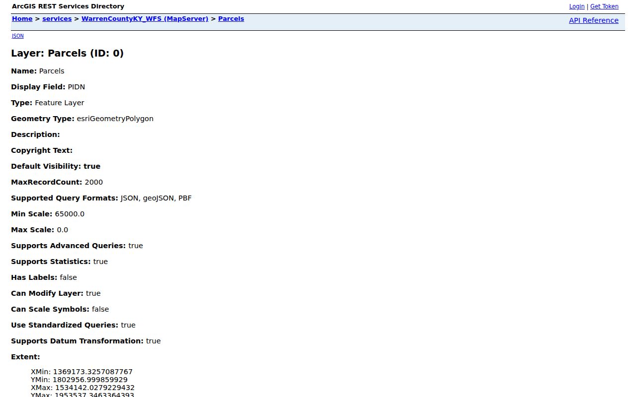
A captured sample had a ZIP and street number while its street-name field was blank. Preserve the parcel ID, map, block, lot, and query date so one missing label does not break the trail.
Map a Bowling Green Block
Start with the subject parcel, then work outward only to polygons that border it. The PVA map offers parcel selection, auto-zoom, measure, draw, print, and aerial layers. Its measurement tool is useful for visual context, not a legal boundary determination.
- Search the address in the Warren County PVA. Record the subject parcel ID, situs address, mailing address, and search date.
- Select each bordering polygon in the map or pan one parcel at a time. Save the parcel IDs before collecting other fields.
- Compare the physical address with the owner mailing field. Treat an exemption as a tax clue, not proof of who is present.
- Turn on zoning, ZIP, fire, school, magistrate, and precinct layers separately. Label each layer by its authority and date.
- Use the County Clerk only when a deed or plat relationship matters. Search by owner name because eCCLIX does not advertise an address index.
This method defines a tight ring around one lot. For a whole named road and its deed sequence, use the Bowling Green street directory workflow.
Bowling Green Neighborhood Groups
The City Neighborhood Services directory separates active from inactive organizations and lists public signs of activity such as watches, cleanups, annual events, recurring meetings, websites, and civic contacts. It does not disclose private member lists or show that each household joined.
The official group directory pictured below is the current community layer for Bowling Green neighbors.
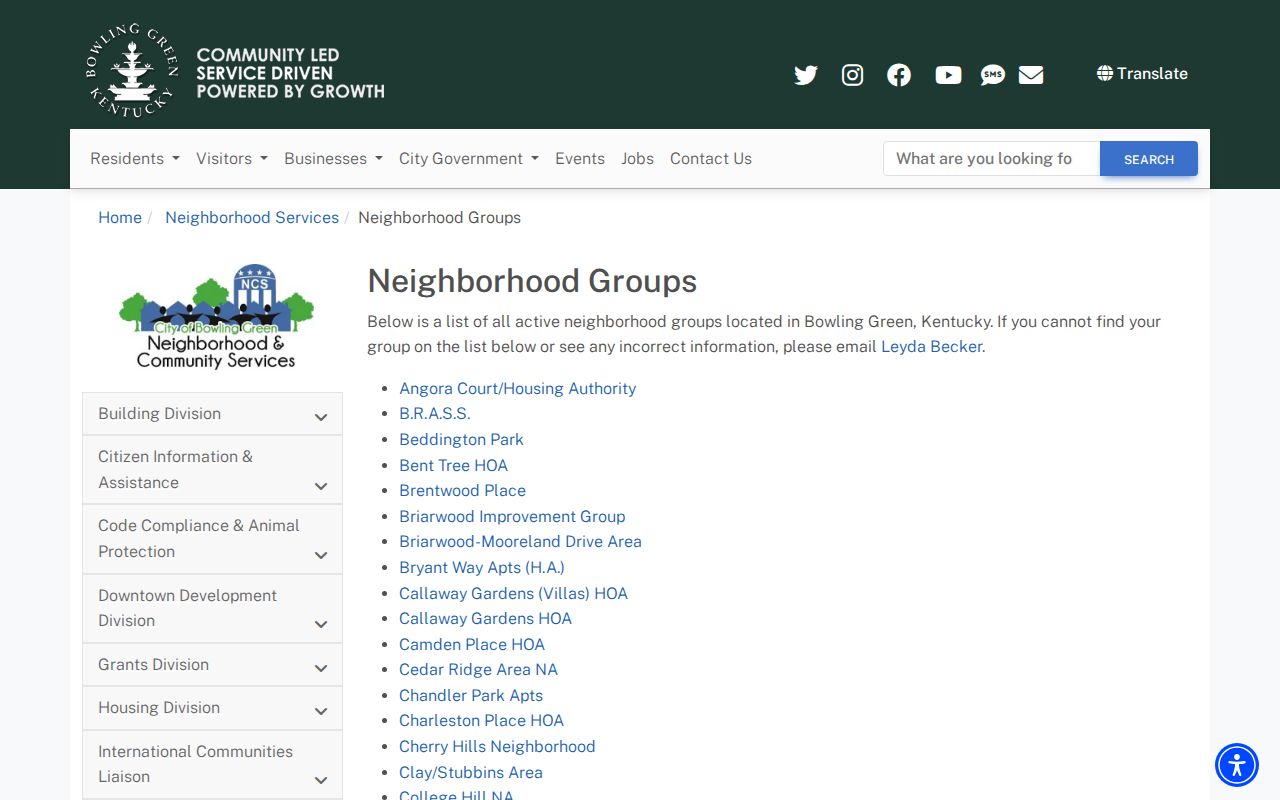
Examples listed as active include College Hill, East 11th, Indianola Neighbors, Northern Heights and Parker Bennett, Riverhills, Springhill, Walnut Valley, and Windover Place. Brentwood Place, Park Hills, Shannon Way, Spruce Trail, Temple Court, and Westside were listed as not active when captured. Status can change.
Neighborhood Services
707 East Main Avenue
270-393-3641
Public organization and liaison questions.
City Engagement
270-393-3766
Use the city route for public meeting and activity contacts.
Planning Commission
1141 State Street
270-842-1953
Address points and mapped district questions.
Bowling Green Block Case Clues
A public city case may add dated property context. The Code Enforcement and Nuisance Board final-order list shows a date, citation number, property address, status, and order history. It also advertises weekly email notification.
The city code-compliance source below explains the agency context for those address records.
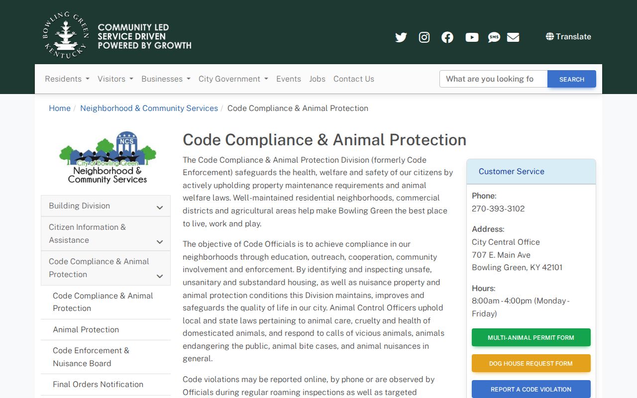
A citation is not a roll of nearby residents. Recheck its status and identify any named person by the role shown in the file. For a permit history, the city e-permit portal is contractor-oriented, so ask the Building Division or City Clerk for a narrow address and date range.
Bowling Green Voters on a Block
The Kentucky Voter Information Center is person keyed. It requires legal first name, last name, and date of birth, with an optional last four digits of a Social Security number. It can return voting status, polling place, precinct, and absentee information. It cannot be browsed as a public block roster.
The State Board voter-data request route supports qualified SBE-84 orders. The form offers paper lists in street order and labels arranged by household and street or ZIP. It also requires a qualifying purpose, geography, format, oath, and payment. Processing is stated as 7 to 10 business days, while a fixed fee schedule is not printed.
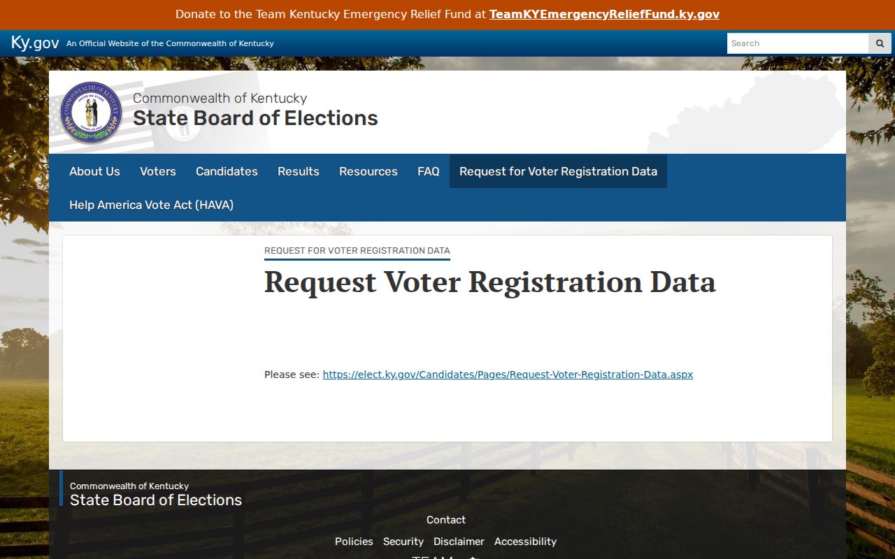
The image shows the official request channel, not an invitation to publish raw voter data. Social Security numbers are redacted, Safe at Home protections remain in force, and a missing voter entry says nothing certain about other people at the address.
Past Bowling Green Neighbors
A modern parcel ring can be compared with older block evidence. Caron's 1941 Bowling Green Directory includes householders organized by street and consecutive house number. Sanborn maps for verified local years can show building footprints, mapped use, stories, materials, outbuildings, and nearby landmarks. Those maps do not identify an occupant by themselves.
The Fairview Cemetery system can supply a separate death or burial clue. The city cemetery page links the burial search and research service.
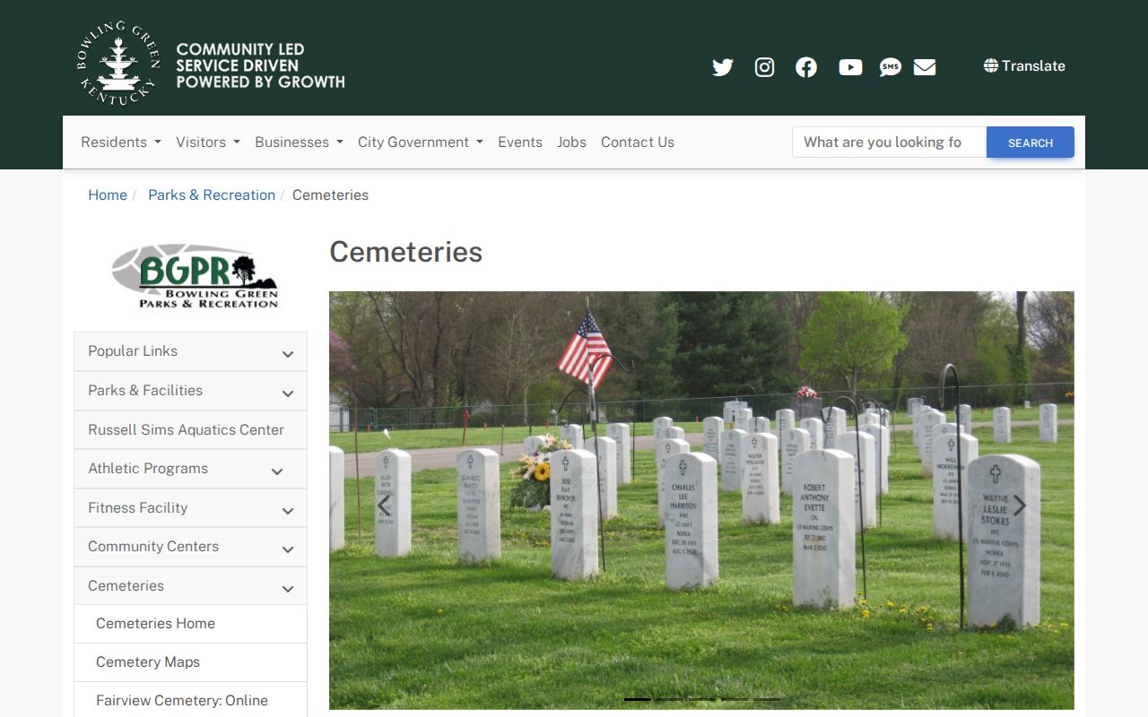
A burial entry can connect a name to local history, but not prove residence on a given block. Confirm a former occupant through the dated directory line, deed, obituary, probate file, or another source that names the address.
Official Bowling Green Block Records
Official records and commercial neighbor tools differ most in what can be checked. Use the public custodian when accuracy and record meaning matter.
| Source type | Strength | Main limit |
|---|---|---|
| PVA, GIS, Clerk, city files | Named custodian, defined fields, direct correction or copy route | Each covers only its record purpose and update cycle |
| Library and archive sources | Dated page, map, directory, or finding aid | Historical evidence does not prove a current household |
| Commercial compiled tools | May combine scattered clues quickly | Source age, matching logic, and correction path may be unclear |
Save the official record date and identify the relationship it proves. Do not merge an assessed owner, voter, association contact, cemetery entry, and old subscriber into one identity without independent matching facts.
Privacy for Bowling Green Neighbors
A block map cannot show all household members, renters, visitors, utility subscribers, delivery recipients, or unregistered voters. An owner mailing address may be an office or a distant address. Neighborhood groups publish organization context, not membership rosters. Driver-record personal data remains restricted.
Kentucky Safe at Home supplies a substitute address and mail forwarding for qualifying survivors. State and local agencies generally must accept that substitute address, while physical addresses collected for voter or vehicle registration are not made public under the program. Real-estate holdings are a stated exception. Kentucky's Consumer Data Protection Act also took effect January 1, 2026, creating rights involving access, correction, deletion, portability, and certain opt-outs for covered consumer data.
Lawful use. Search Bowling Green neighbors only for lawful personal, family, civic, or safety reasons. Never use public details to watch, harass, intimidate, or harm anyone.